One day I was sitting at my laptop, getting bored at home and looking randomly at Google Maps, when something interesting caught my eye: I noticed a giant circle in the Sahara, in the middle of nowhere. It looked like a mine, but the size didn't fit: it was obviously huge, much larger than anything I'd ever seen or heard of. When I zoomed in on the map, I found out it was something called the Eye of the Sahara, or the Richat Structure.
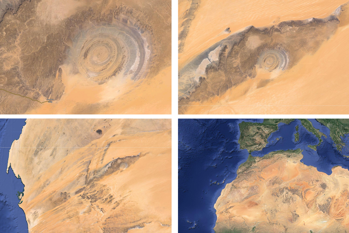
The Eye of the Sahara on Google Maps – it really looks like an eye!
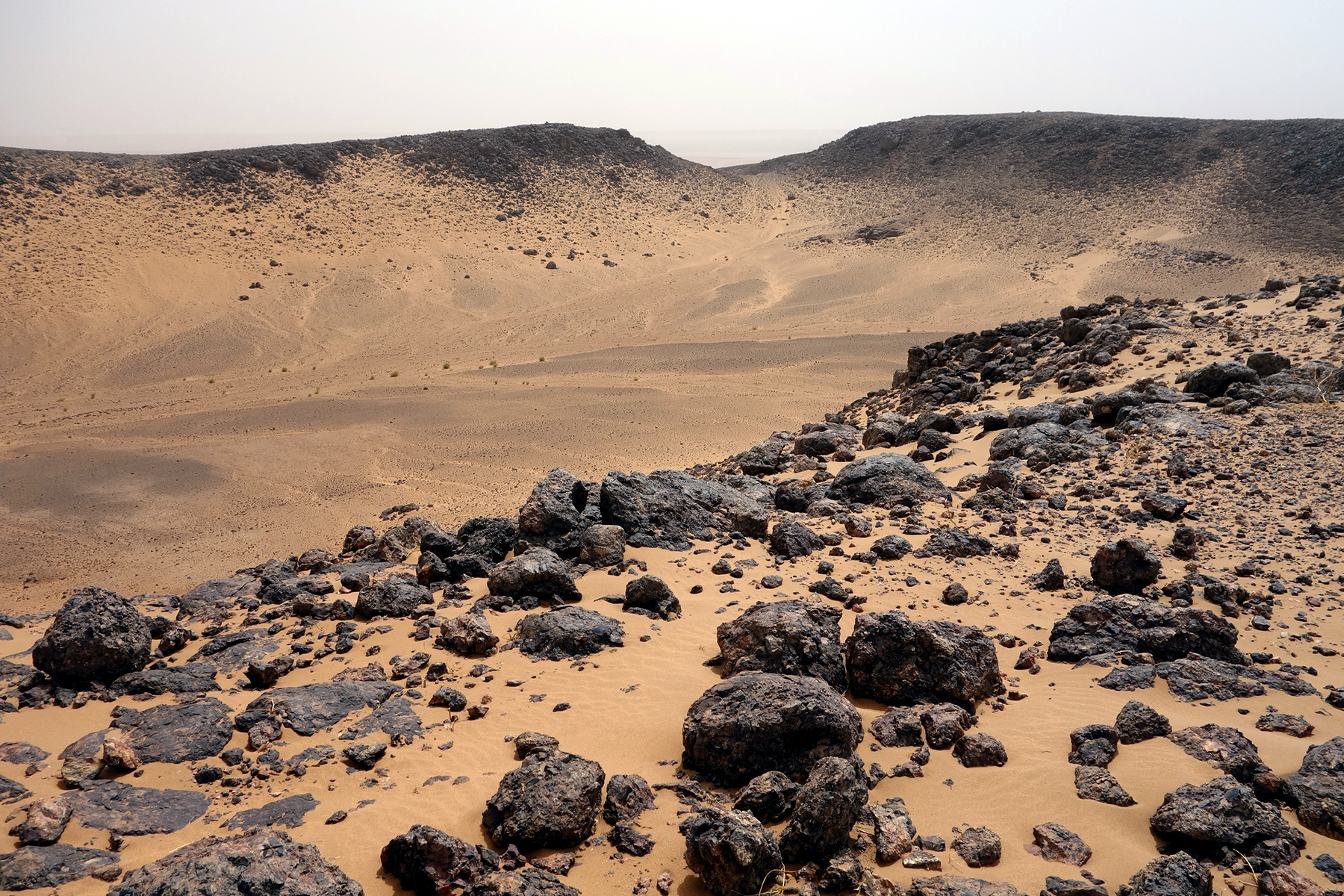
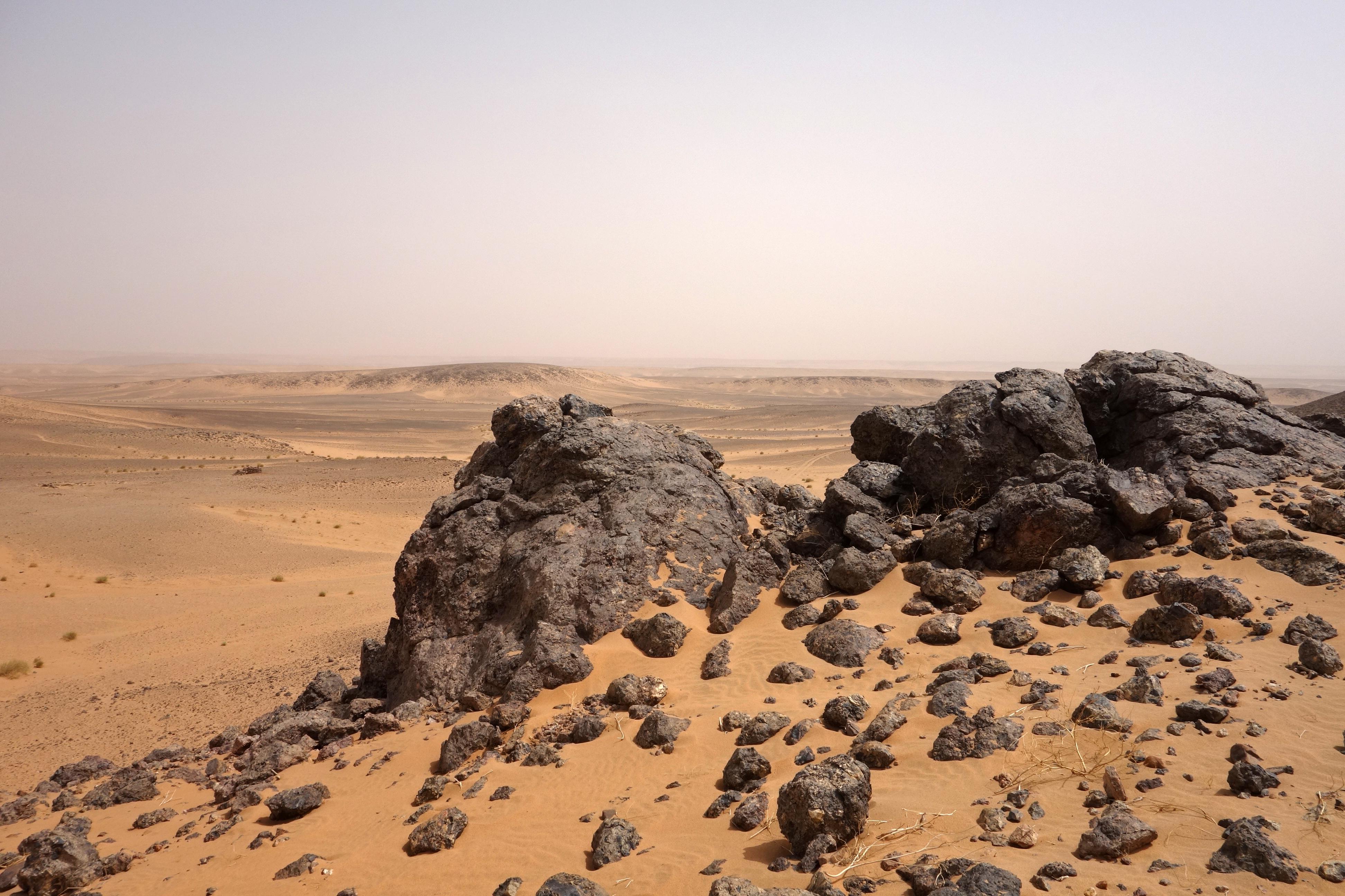
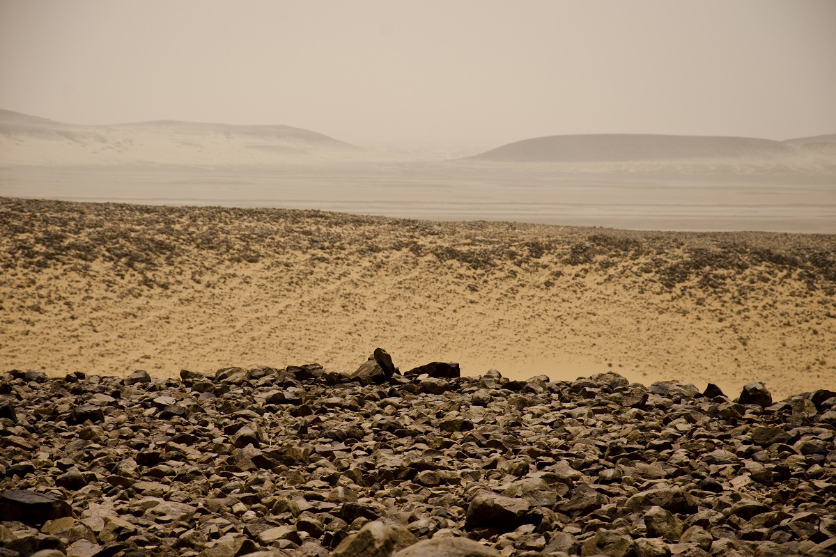
A glance at Wikipedia told me it was huge indeed: the diameter of the outermost ring is 40 km (25 mi) in diameter. Also, it is not a hole, as I first thought: it could best be described as a series of concentric rings, each one forming an almost perfect circle. It is an "eroded dome" – not a meteor impact crater, and definitely not a mine.
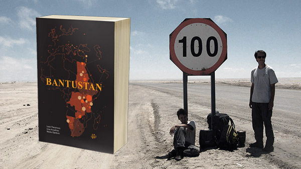
** We recently published our first English book: Bantustan, Atlas of an African Journey. It is an illustrated travelogue with a collection of hand-drawn maps, available on Amazon. Find out more at www.bantustanbook.com **
The Eye of the Sahara was first described in the 1930s and 1940s and was considered to be a meteor impact site, but that theory was refuted in the early 2000s. It was created by erosion.
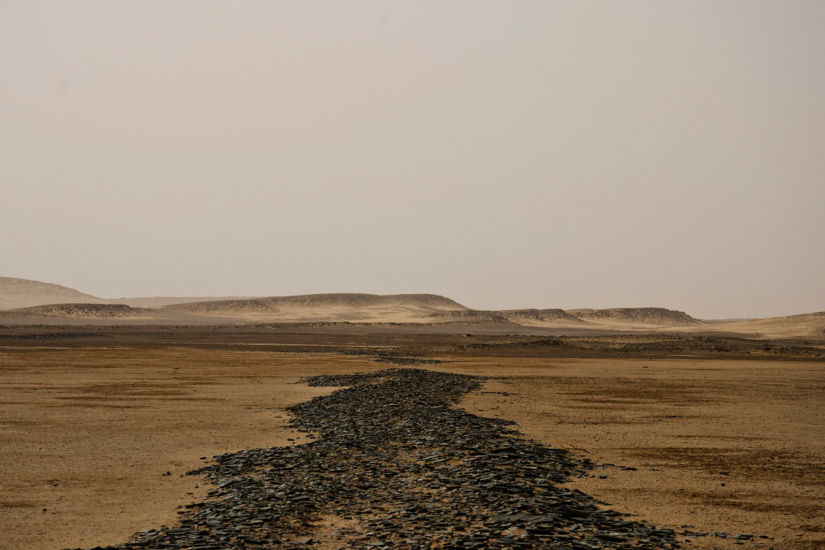
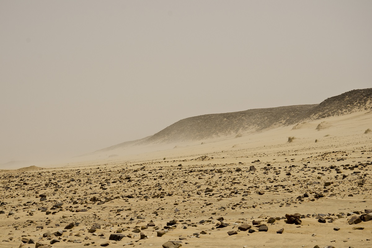
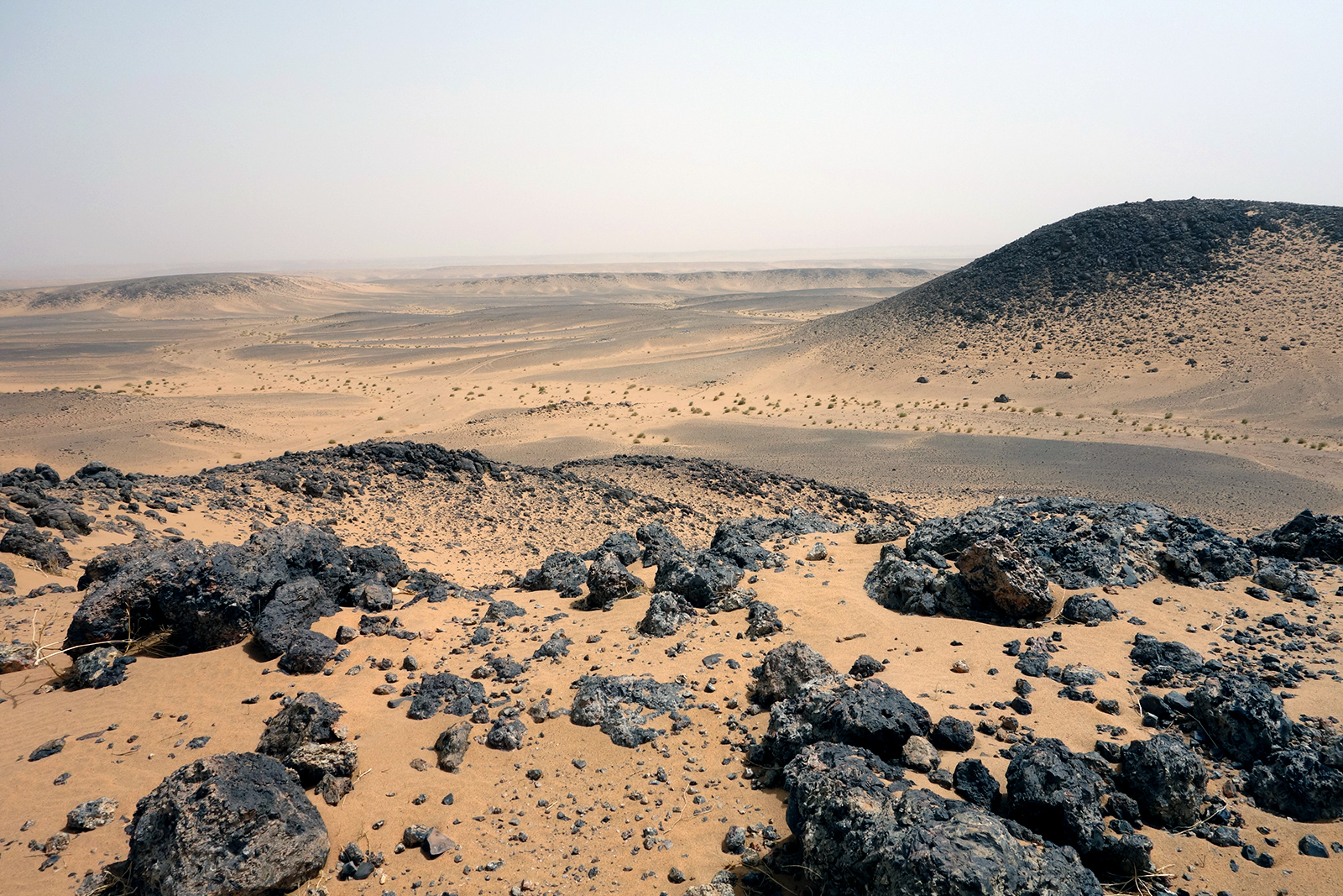
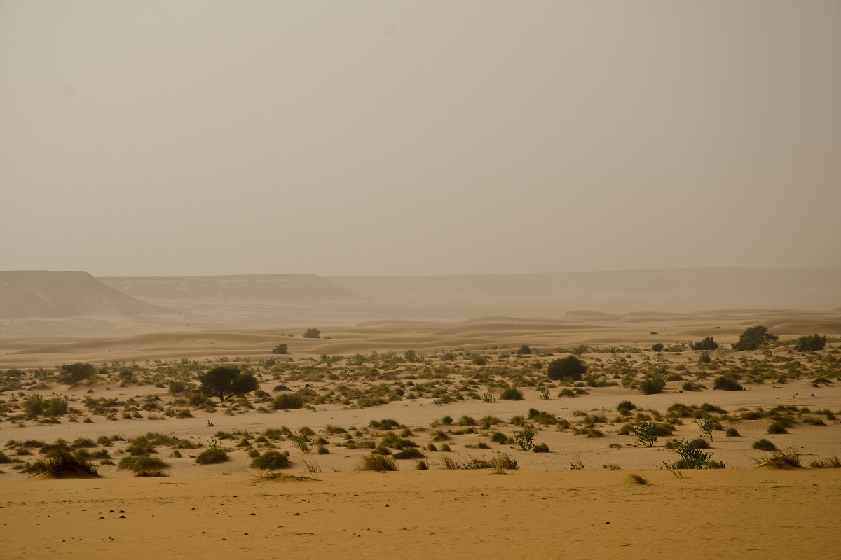
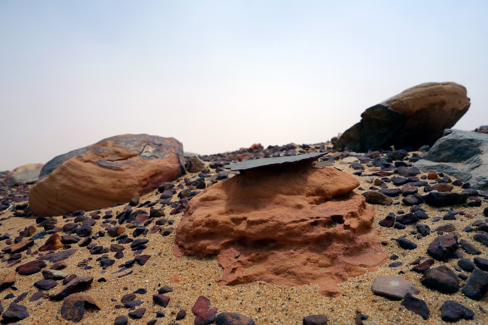
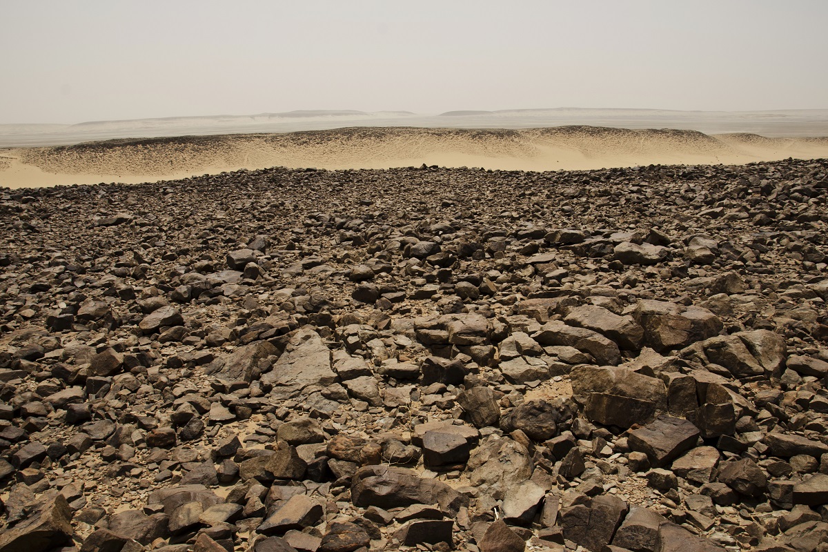
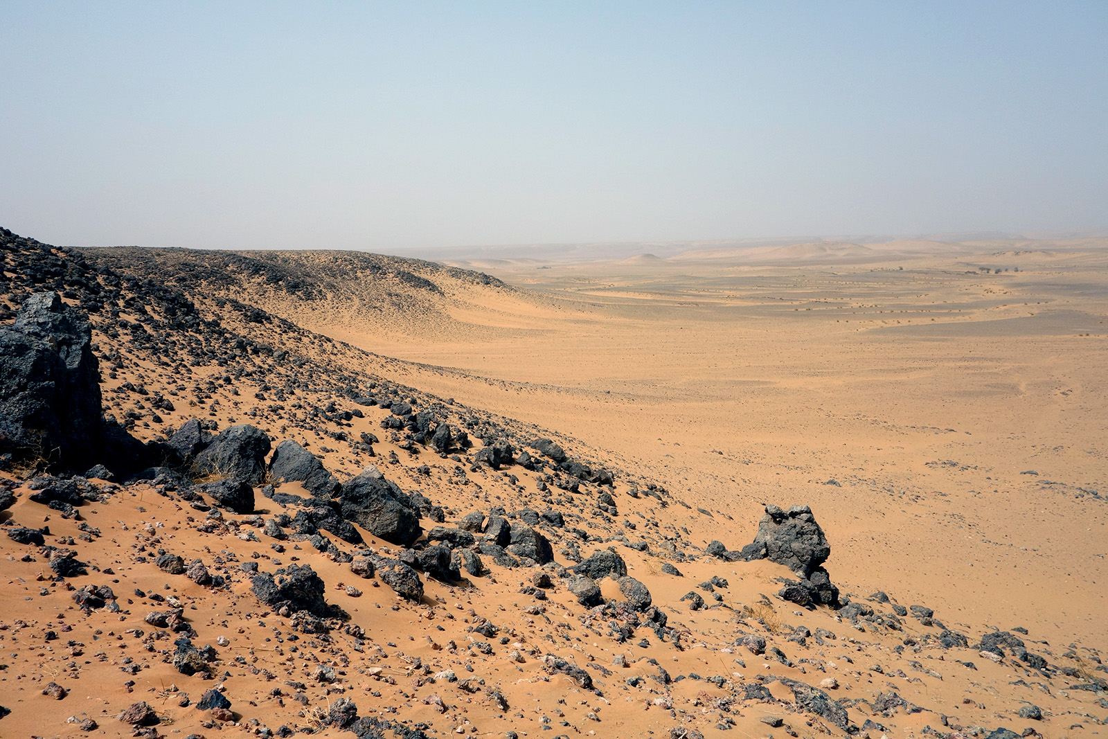
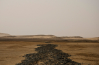
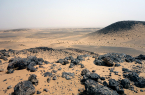
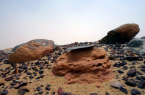
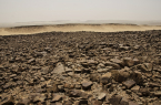
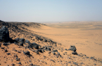
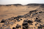
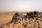
It is the closest one can get to walking on Mars without really being on Mars.
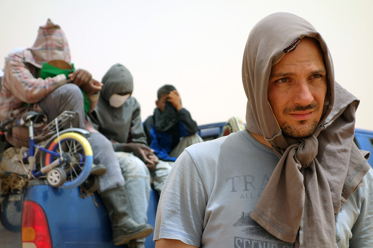
From the moment I saw the giant circle on Google Map, I got very excited. I started wondering if it would be possible to go there. Not just to stare at it on the map, but to really, physically go there and step into the center of the circle. I invited two friends – Inesa Adamonyte and Uros Krcadinac – with whom I had traveled to crazy places before, and who I thought might be willing to go on such an adventure. First they tried to convince me it was suicidal, but finally I managed to talk them into it. That same year, 2013, we decided to go for it.
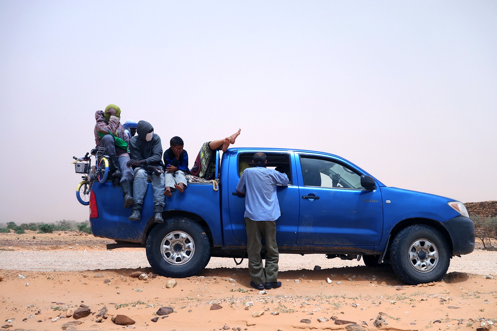
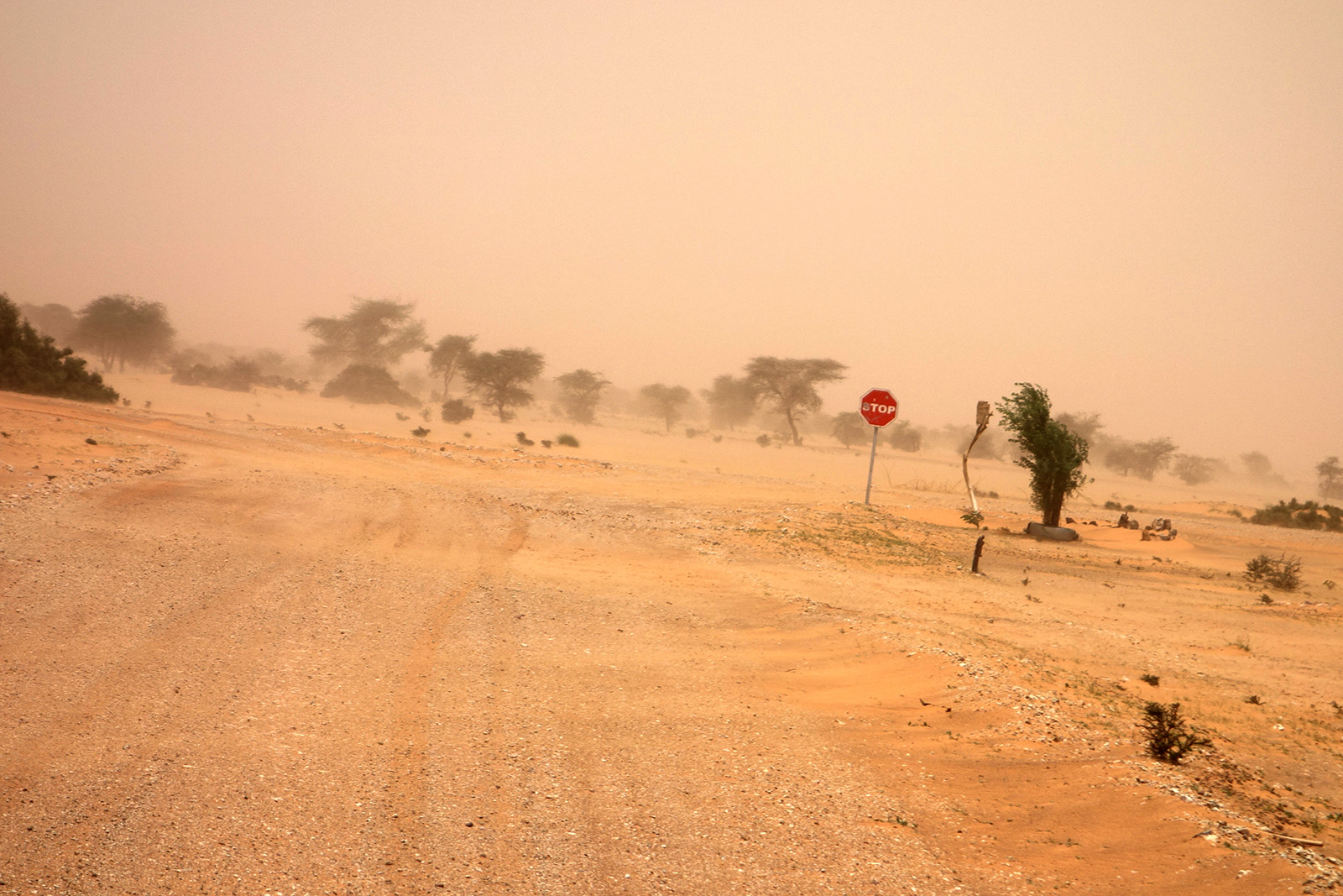
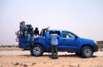
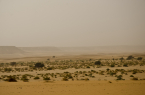
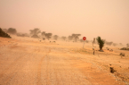
We met in southern Spain and crossed by ferry to Morocco. Then we went down through Morocco, Western Sahara and finally Mauritania, where the Eye of the Sahara is located. From Nouadhibou we took the desert train used for transporting iron ore and after that a series of "desert buses", Toyota Land Cruisers that take people between small villages in the Sahara. For the final leg of the trip, we hired a jeep with a Tuareg driver, to take us to the circle.
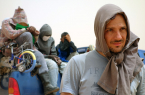
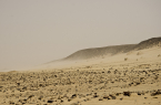
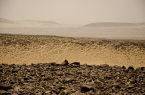
The daytime temperatures were above 50 degrees C (122 degrees F). After a while, our cameras and phones got overheated and stopped working. Uros and I suffered a mild heatstroke, while Inesa suffered a more severe one, and ended up in the hospital in the Mauritanian capital Nouakchott, where we arrived after a long, arduous trip. After she recovered, we continued on to Senegal, from where we flew back to Spain. The whole trip lasted three weeks.
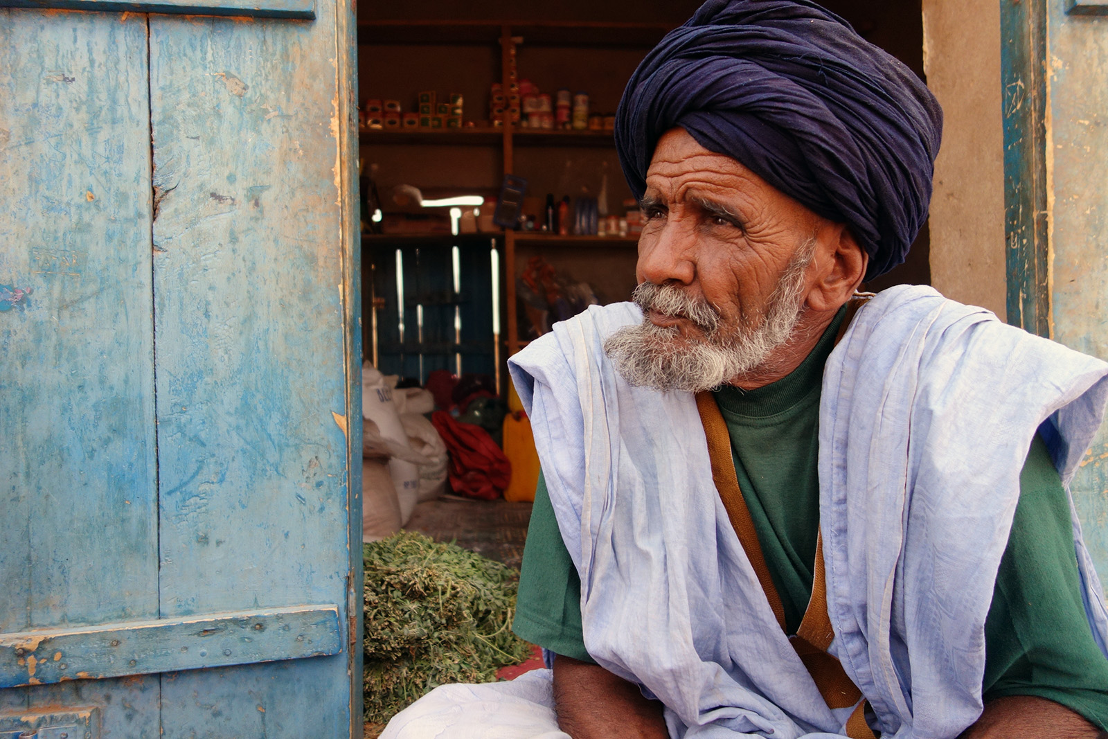
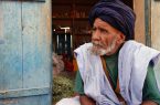
During the trip, it came in handy that Uros spoke some French, and I could speak Spanish and some Arabic. French and Spanish were spoken in the cities, but when we got deeper into the Sahara we had to rely on my broken Arabic to find out where to go and how to get there.
We were planning to shoot a documentary about the trip, so we did a lot of filming along the way (until our equipment died from the heat), but sadly we never got round to editing it; it turned out that hours upon hours of desert footage don't make for a watchable story. The adventure was definitely the most challenging trip of my life (so far), and probably the most dangerous one as well.
However, I'd say it was worth it. There's no place on Earth that could be even remotely compared to the Eye of the Sahara. It is the closest one can get to walking on Mars without really being on Mars.
And there's no feeling – at least not one that I'm familiar with – that comes close to standing in the very center of the innermost ring of a 40-km wide crater, in the middle of the Sahara, knowing that it all started with an evening of sitting at home, getting bored and randomly looking through Google Maps.
Would I do it again? Absolutely. I'd do it tomorrow.
––
Photos by Inesa Adamonyte and Lazar Pascanovic.